Maps
The following interactive maps provide useful inormation such as Met towers, organic farming areas, and more.
MET Towers
To view MET towers, please select one or more counties below. Multiple counties may be selected by holding the "ALT" key while making multiple selections.
ND Department of Ag
The following information is provided by the North Dakota department of agriculture. Select the information you would like to view from the legend on the left. More information can be found from the ND Department of Agriculture's website.
In addition to the abbove map, the ND Department of Agriculture has creatd a map and registry which allows indiviudals to sign up for alerts for areas to watch when applying pesticide treatments. Visit https://beemap.ndda.nd.gov/ to view the map or create an account to monitor an area.
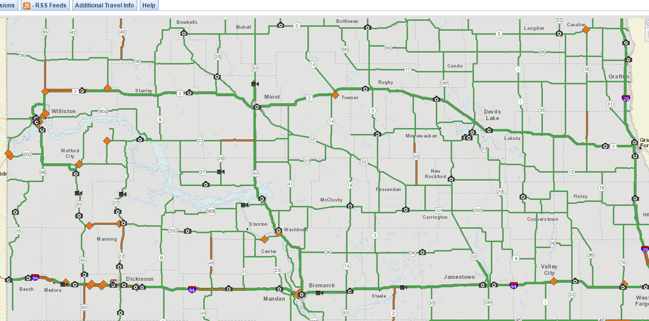
NDDOT highway cameras
Viewing the highway cameras provided by the NDDOT can help provide infomration about the current conditions in an area. View these cameras by clicking the image below and selecting "weather cameras" from the options on the left.